Smith & Chetco Rivers Fishing Map
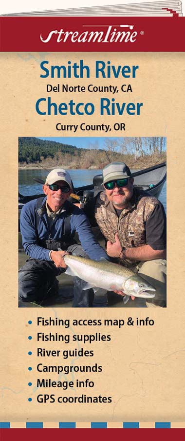
Smith River
The Smith River is California’s most northern coastal river, 10 miles north of Crescent City and 5 miles south of the Oregon border. The Smith River passes through the Six Rivers National Forest, and Jedediah Smith State Park. The Smith is also the only river in California not dammed. As a result of it flowing through bedrock, there is very little siltation so it clears up much faster after a storm than other rivers. The Smith River is short and it drains mostly rocky terrain. When other rivers are muddy, the Smith maintains its emerald color. In fact, the water is often so clear, people who wade should be cautious as the water is probably deeper than it looks.
Chetco River
The Sister River of the Smith, the Chetco River is located five miles north of the California border on highway 101. The Chetco’s source is in the Kalmiopsis Wilderness of the Siskiyou National Forest and empties 55 miles downstream with a 3700 foot drop into the Pacific Ocean between the towns of Harbor and Brookings Oregon. The river is about 55 miles long, with 25 miles designated by Oregon as Wild and Scenic in 1988.
- Folded size: 4" x 9"
- Flat size: 24" x 36"
NOTE: Also available flat, laminated, $29.95
Description
Smith River
The Smith River is California’s most northern coastal river, 10 miles north of Crescent City and 5 miles south of the Oregon border. The Smith River passes through the Six Rivers National Forest, and Jedediah Smith State Park. The Smith is also the only river in California not dammed. As a result of it flowing through bedrock, there is very little siltation so it clears up much faster after a storm than other rivers. The Smith River is short and it drains mostly rocky terrain. When other rivers are muddy, the Smith maintains its emerald color. In fact, the water is often so clear, people who wade should be cautious as the water is probably deeper than it looks.
Chetco River
The Sister River of the Smith, the Chetco River is located five miles north of the California border on highway 101. The Chetco’s source is in the Kalmiopsis Wilderness of the Siskiyou National Forest and empties 55 miles downstream with a 3700 foot drop into the Pacific Ocean between the towns of Harbor and Brookings Oregon. The river is about 55 miles long, with 25 miles designated by Oregon as Wild and Scenic in 1988.
- Folded size: 4" x 9"
- Flat size: 24" x 36"
NOTE: Also available flat, laminated, $29.95