Mattole & Navarro Rivers Fishing Map
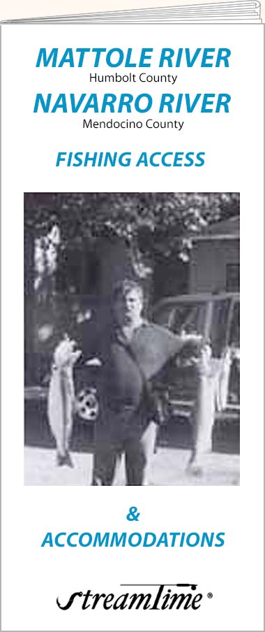
Mattole River
The Mattole River lies in the southwest corner of Humboldt County, approximately 64 miles from Eureka and 260 miles from San Francisco. Primarily a Steelhead river, the Mattole offers 27 miles of fishing. Fishing the Mattole River can start anytime after the first major fall rains, however the best fishing is usually between December and March.
Navarro River
The Navarro river is another of those short coastal streams that provide excellent Steelhead action between about November to March.
- Folded size: 4" x 9"
- Flat size: 24" x 36"
Original: $10.95
-70%$10.95
$3.28Description
Mattole River
The Mattole River lies in the southwest corner of Humboldt County, approximately 64 miles from Eureka and 260 miles from San Francisco. Primarily a Steelhead river, the Mattole offers 27 miles of fishing. Fishing the Mattole River can start anytime after the first major fall rains, however the best fishing is usually between December and March.
Navarro River
The Navarro river is another of those short coastal streams that provide excellent Steelhead action between about November to March.
- Folded size: 4" x 9"
- Flat size: 24" x 36"